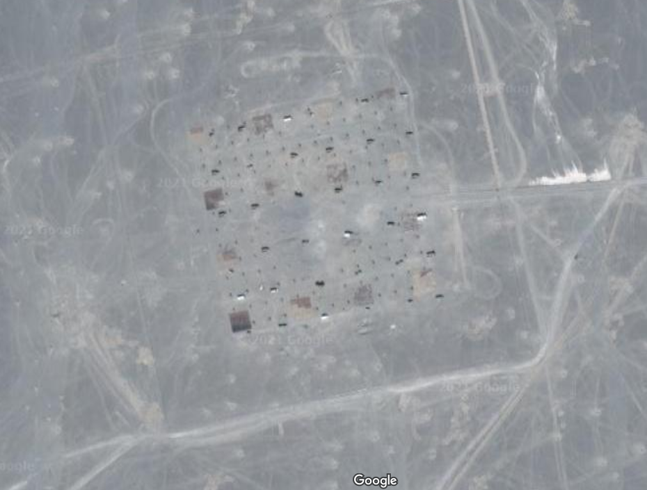
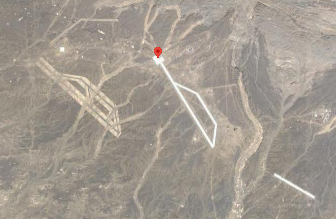
40.452107,93.742118
Anyone have a guess as to what this image on Google Earth is? The coordinates in Google Earth are 40.452107,93.742118 and you can view it HERE ON GOOGLE MAPS. It's located in Dunhuang, Jiuquan, Gansu, north of the Shule River, which crosses the Tibetan Plateau to the west into the Kumtag Desert. It covers an area approximately one mile long by more than 3,000 feet wide.
What do YOU think it is?
Here is a stongehenge like structure in the same general area 40.458679,93.31314
Here is a weird grid arrangement in the same general area 40.452107,93.742118
Here is a weird runway in the same general area 40.488966,93.50004
If you just look around this area, there are dozens of structures like this, it's possible these are just sample bombing structures once you look at the bulk of them. Either way, weird stuff.


